
Modern Interventions
Quarries. The extraction of stone from the Western Hills for the procurement of building material goes far back to the ancient times, but the landmark for the radical change of the area’s topography is the quarrying that took place in modern times. The extent of land that was quarried in 1878 was drawn, in this project, taking as original geographical boundaries the Hills as represented in the map by Weiler (1834), and the actual quarrying as shown in the map by Curtius and Kaupert (1878); the manner with which these boundaries evolved was recorded by subsequent backgrounds, namely the aerial photo of the British School at Athens (1944) and the modern orthophoto maps (2007-2009).
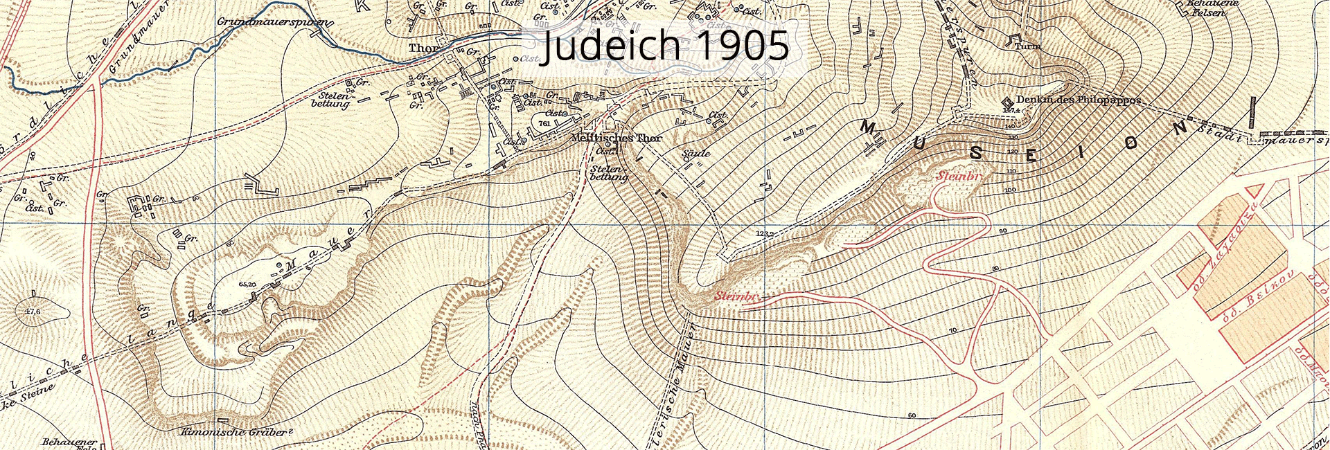
Road network. The study of the evolution of the roads and paths may reveal new clues with regard to the use of the Hills in the modern times. They may also inform us about the changes the network has undergone on account of the urbanisation of the wider region and about the gradual transformation of part of the area into public space and a proclaimed archaeological site. The combination of the historical maps allows for tracing the courses that have survived until today and have been integrated into the contemporary urban design.
Urban growth. The starting point for studying the evolution of modern construction activity around the Western Hills was the early maps of Athens (Kleanthis and Schaubert 1831-1832, and Weiler 1834). On account of the period these particular maps were drawn, the Hills are presented before residential expansion took place. For visualisation purposes, the dates of city blocks are being sorted every two decades, in order to highlight the gradual dwindling expanse of the Hills.
Visual resources. The representation of the form of the Hills on old illustrated material dates before any of the interventions of the modern era: Old sketches, engravings and photographs capture unknown details of the biography of the Western Hills, which renders them a unique source of information. This material serves in an auxiliary capacity in relation to its contemporary texts and maps, and is positioned in space providing a “third dimension” via orientation signs upon the maps as to the viewpoint of the image. At the same time, this material is related to the historical stages of the Timeline.